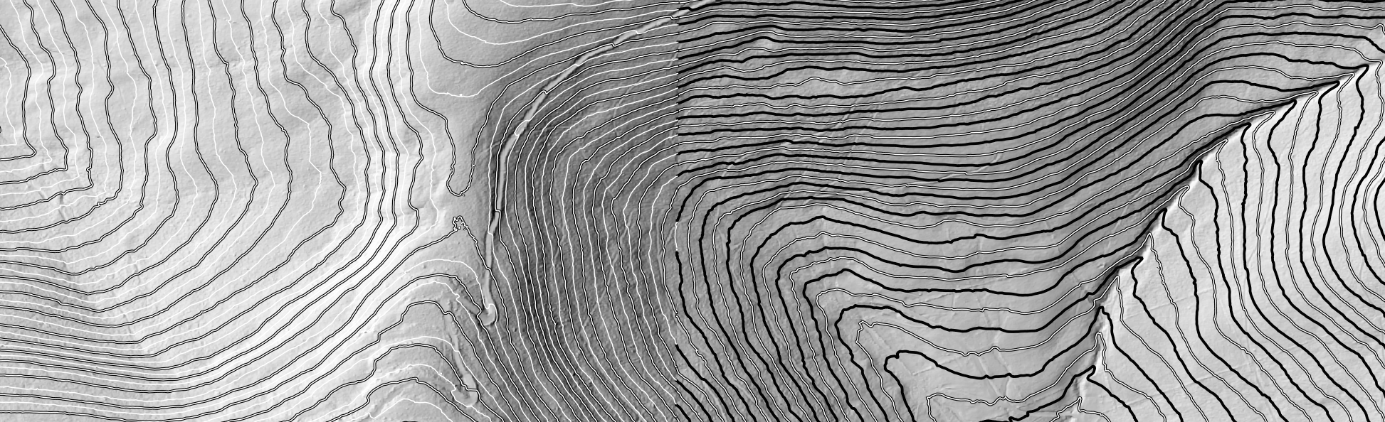
DEM-derived topography using QGIS geoprocessing tools. Western Catskills, Delaware County, NY. CC0.
Geoprocessing DEMs to Reveal Past Land Uses
This week we will continue working with DEMs from the Western Catskills region of Delaware County, New York. Now that we have used various geoprocessing routines in QGIS, we can likely identify evidence of past human land uses like fields, pastures, and paddocks. We may even be able to find old building foundations, ponds, and refuse pits. There is also almost certainly evidence of logging roads, ATV and snowmobile trails, as well as animal-made trails. Ephemeral streams (evidence of water that only runs at certain times of year, like snowmelt) are also likely evident.
In this activity, we will learn how to use the on-screen or heads-up digitizing capabilities of QGIS to construct line and polygon layers. We will carefully scan our DEM-derived layers like hillshade, and draw polygons around sites of likely past grazing and pasture but that are now covered in woods. We will also draw a line layer of possible abandoned roads, trails, and paths.
We will use DEM-generated contours at various intervals to help us make better guesses about roads and stone walls by factoring in topography.
You can find a walkthrough document for this activity here:
https://docs.google.com/document/d/1_-L4Ay5r0zb254vF22cOruAGG8G1FzLCVkdKmtBu0Vo/edit?usp=sharing