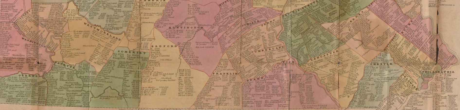
Industrial & political map of Pennsylvania : exhibiting the population, the principal resources of each county, and the valuation of property, the several congressional districts, and the vote for presidential electors in 1840. [Philadelphia] : Edward C. Biddle, c1844. CC 0.
Introducing Google My Maps
Google My Maps is a simple yet powerful geographic information system. It does not possess a full set of features like other GIS software (e.g., QGIS), but it strikes an excellent balance between ease of use and functionality. Over the next two class sessions, we will explore fully the features of Google My Maps, and hopefully we’ll find potential uses of this web-based GIS that is available to all with a Google account. You can learn more about Google My Maps here:
https://www.google.com/maps/about/mymaps/
There is also online documentation available here:
https://support.google.com/maps/?hl=en#topic=3092425
Our activity for this class is available here:
https://docs.google.com/document/d/1tkfzpw0JMbQEaF-08XnK6WczAzRbBi3CGurwLb9-FsI/edit?usp=sharing
[Bonus] A Case Study: Draw the Lines, PA
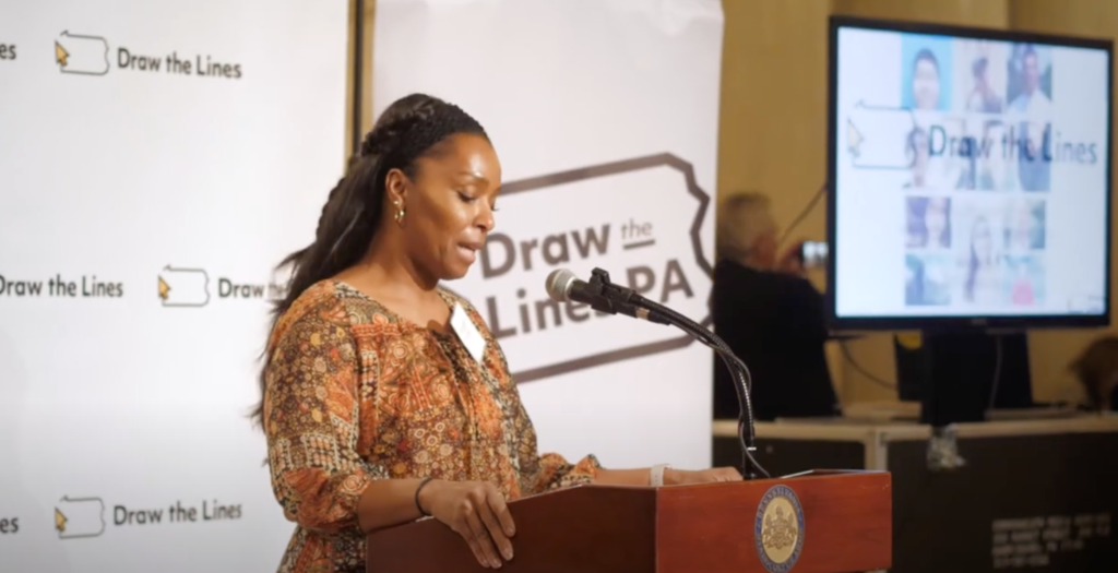
Starting in 2018, two years prior to the 2020 decennial census, a bipartisan citizen group called the Committee of Seventy began a public education campaign aiming to engage the public, draw fair voting districts, and “slay the gerrymander”. Between 2018 and 2022 when Pennsylvania’s new districts were adopted, Draw the Lines, PA held hundreds of events across the state that provided fun, intelligent learning experiences and technology tools encouraging Pennsylvania’s citizens to draw fair districts. You can watch a short video about Draw the Lines, PA, peruse their extensive learning materials, and draw your own district maps on the Draw the Lines, PA website. You can also review and learn about the final 2022 map that will determine our political representation for the next decade.
For Next Time
Work through the book chapter provided in Canvas.
Karen K. Kemp: Geographic Information Science and Spatial Analysis for the Humanities. Available in:
Bodenhamer, D. J., Corrigan, J., & Harris, T. M. (Eds.). (2010). The spatial humanities : gis and the future of humanities scholarship (Ser. Spatial humanities). Indiana University Press.
Also, take a look at the installation instructions for QGIS. We will dedicate some class time to installing QGIS, but feel free to get started sooner if you wish. If you encounter any challenges downloading and installing QGIS, we will address them during class.