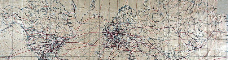
Map selection depicts airmail routes, post World War II era. Benjamin B. Lipsner Airmail Collection, National Postal Museum, Smithsonian Institution. CC 0.
Book Chapter
In tonight’s class, we will spend a fair amount of time reviewing the material covered in Karen K. Kemp’s, Geographic Information Science and Spatial Analysis for the Humanities, chapter 3 of The Spatial Humanities: GIS and the Future of Humanities Scholarship, available through Trexler Library. Below are the slides we will use tonight to talk about this important chapter.
Installing QGIS

In the second half of tonight’s class, we will install QGIS, a Free/Libre Open Source Software application. You can find the walkthrough document for installing QGIS here:
https://docs.google.com/document/d/1ZgJiMavMsL6-x1aZ0zapTOiwTcQFk9TTYr7iLI5ucZs/edit?usp=sharing
You can find out more about the QGIS Project here: https://www.qgis.org/en/site/about/index.html
Looking for Geospatial Data
We’ve looked a very little bit at some voter data obtained from the Pennsylvania Department of State. Being able to locate and evaluate the suitability of data for digital mapping is an important digital literacy. There is SO MUCH publicly available and openly licensed data out there, but it can be surprisingly difficult to find and even harder to understand how it was collected, if it is reliable, or if it is ultimately suitable for our information needs. It is even harder to navigate within multiple domains (for instance, combine public health data with transportation data).
Librarians are a great resource. One tip I suggest is to combine a search in your search engine of choice for “geospatial data” and the word “libguide“. Short for “library guide” these finding aids are prepared by librarians and they can point you in the best direction for finding geospatial data, demographic data, statistical data suitable for bringing into a GIS, etc. Below is a link for an advanced search in the Google search engine that MUST contain the word ‘libguide’ and that also may contain any of the terms: “GIS”, “geospatial”, “statistical”, or “data”, and lastly is limited to the top level domain “.edu“. It looks like this:
Later in the course, we will spend a little bit of time looking at Google’s advanced search (https://www.google.com/advanced_search) features, and experiment with building searches like the one above. In my opinion, this is always the best way to begin searching for data suitable for bringing into mapping software like ArcGIS, QGIS, and Google My Maps.
For Next Week
Next time, we’ll take many of the same elements from our Google My Maps activity, and recreate something similar using QGIS. We will take a close look at importing tabular data into QGIS, and we will discuss which kinds of tasks are better accomplished with spreadsheet software, and which tasks are best suited for a GIS.