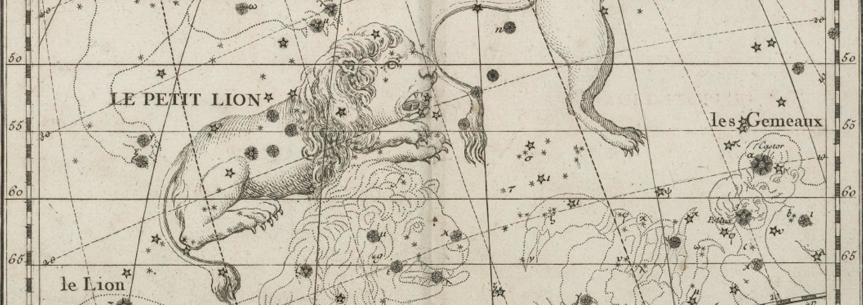
Le petit lion from John Flamsteed’s Atlas celeste de Flamsteed, publie en 1778, University of Oklahoma Digital Collections
A ‘Close Reading’ of Google Maps
At some point during your time at Muhlenberg, you were likely asked to undertake a ‘close reading‘ of a poem, a novel, a film, a play, a painting or drawing, or some other creative work. Borrowing from literary studies and media studies, let’s apply that same intensive and thoughtful examination to some software and see what we find….
Individually or in pairs, let’s attempt an activity I call ‘click on everything’. This isn’t how most of us interact with software because who has the time? We engage with most software by way of satisficing. In other words, we use the features or affordances that immediately satisfy our present need, rather than seeking optimal or comprehensive understanding.
In the ‘click on everything’ activity, we use software in an unnatural feeling way that systematically starts in one ‘place’ and works through every available option. We seek to be comprehensive in order to surface a software’s point of view, or agenda, or internal biases. Our ‘close reading’ of Google Maps (something we’ve all likely used many, many times) will help us think more broadly about digital mapping as a set of technologies, as a human practice, and as a cultural phenomenon.
Please find this week’s activity here:
https://docs.google.com/document/d/1JdcX2jaPChdY2pisz_iMWUa6lAMQ6oLarHTT26ZAqcA/edit?usp=sharing
[BONUS] A Case Study: EPA Urban Waters Civic Action Project – Compton Creek Watershed, Los Angeles, California
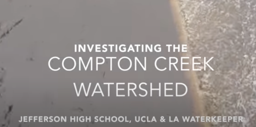
Between 2015 and 2017, UCLA, LA Waterkeeper, and Constitutional Rights Foundation were selected by the U.S. Environmental Protection Agency (USEPA) under their Urban Waters Small Grants Program to work with four high schools in Los Angeles and conduct a neighborhood-scale assessment of trash and industrial sources of pollutants.
The STEM (Science, Technology, Engineering, and Math) curriculum was comprehensive and involved learning about the water cycle, urban hydrology, organic chemistry, and watershed monitoring. Additionally, students worked with university faculty, local environmental organizations, municipal employees, and elected officials to learn about the civic and regulatory factors impacting the Compton Creek watershed, particularly around sources of industrial pollutants, especially various metals.
Using nothing more than zoning codes, a list of permitted businesses, and Google Maps, students matched businesses to permits and uncovered numerous businesses contributing to pollution in Compton Creek who either had lapsed permits or had never applied for a permit. Simply by combining a search engine with a simple Geographic Information System or GIS (Google Maps), students were able to locate businesses potentially impacting water quality by using a pre-determined set of search terms.
Importantly, students worked with municipalities within the Compton Creek watershed to incorporate technical and environmental training for businesses at the point of filing for a permit, and as permits came up for renewal. This lack of training for business owners was a major oversight, and was responsible for a significant amount of pollution within the watershed.
This is a terrific example of citizen science, and it reminds us that much publicly available geospatial data can be used to address complex and pressing issues via freely available tools like Google Maps. To read more, please visit:
https://www.ioes.ucla.edu/project/epa-urban-waters-project/
For Next Class
We’ll look further at mapping with Google-provided tools, specifically Google My Maps. We’ll also imagine this scenario:
You are asked by a close friend and neighbor to help her to run for a town council position. She’s asked you to manage her canvassing efforts. You’ve never worked on a campaign before, but you think your friend would be an amazing councilwoman, so you feel up to the challenge. Where to start?